

 Virtual tour of the passes

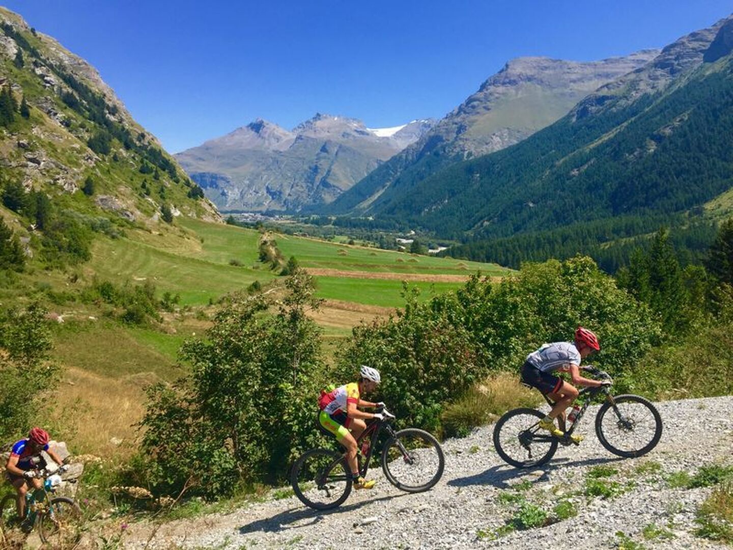
A lovely gentle itinerary above the resort on easy tracks offering beautiful views over the village.
Description
An elevation gain of just under 200 metres to reach the summit of this itinerary which starts on a picturesque track. The only steep sections are on two bends below St Etienne Chapel. The return trip is via a track presenting no major difficulty. It is listed as a blue itinerary but is nevertheless an easy one and offers a lovely view over Lanslevillard village.
Departs from: Val Cenis Lanslevillard
Période d'ouverture
From 01/05 to 01/11.
Subject to favorable snow and weather conditions.
Itinéraire
- Balisage BALISE
- Type d'itinéraire BOUCLE
- Précision balisage French Cycling Federation signposting
- Passage délicat A rolling course on a passable track.
- Nature du terrain Stone Ground Grit
Tarifs
Free access.
Plus d'infos
Commune :
Val-Cenis
- Lanslevillard
Adresse :
Office de Tourisme de Lanslevillard
Lanslevillard
73480
Lanslevillard
73480
Commentaires
Vous aussi, écrivez un commentaire !