

 Virtual tour of the passes

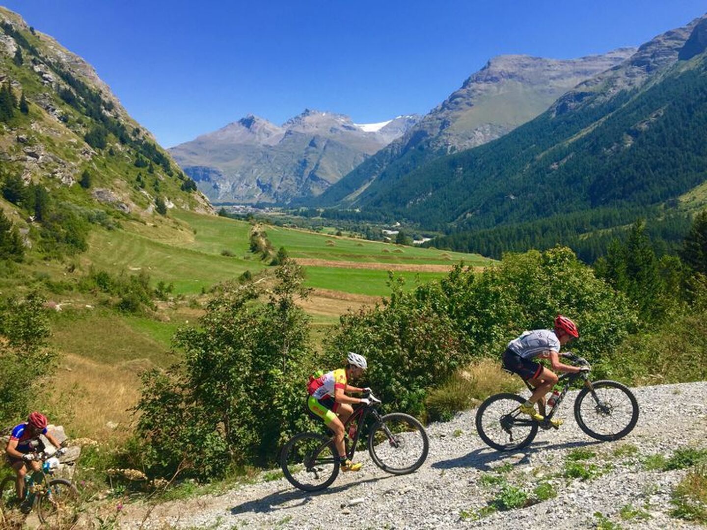
No major difficulty on this steady climb up to the hamlet of Ecot and the ride back down should present no problems either.
Description
Once at the end of the Haute Maurienne Valley, your mountain bike won't be going any further. Take the time to visit the village of Bonneval sur Arc and marvel at its lovely mountain architecture. The itinerary starts on a gently-sloping track, continues on a section of road, and ends with an almost flat track leading to the end of the Duis Valley, close to the sources of the River Arc. On the way back, you can admire the typical houses in the hamlet of Ecot.
This is a red trail but remains accessible to intermediate mountain-bikers as the few technical bits on the singletrack section back to Bonneval are very short and can be negotiated on foot.
Departs from: Bonneval sur Arc Tourist Office
Période d'ouverture
From 01/06 to 15/10.
Subject to favorable snow and weather conditions.
Itinéraire
- Balisage BALISE
- Type d'itinéraire BOUCLE
- Précision balisage French Cycling Federation signposting
- Passage délicat A slightly physical climb before the Criou refuge
- Nature du terrain Stone Ground Grit
Tarifs
Free access.
Plus d'infos
73480