

 Virtual tour of the passes

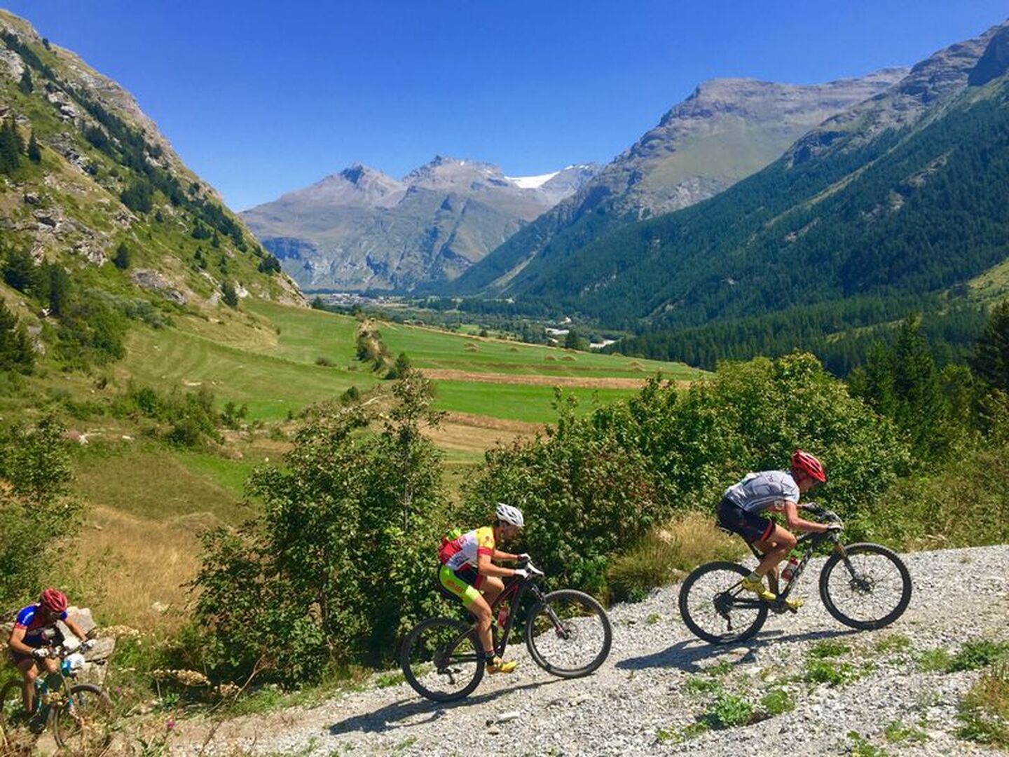
The track up to Lanslevillard is a gentle climb and the return descent poses no problems.
Description
You simply go to Lanslevillard and back, on very pleasant tracks where you'll encounter no difficulty and can enjoy views over both sides of the valley.
Departs from: Val Cenis Lanslebourg or Val Cenis Lanslevillard
Période d'ouverture
From 01/05 to 01/11.
Subject to favorable snow and weather conditions.
Itinéraire
- Balisage BALISE
- Type d'itinéraire BOUCLE
- Précision balisage French Cycling Federation signposting
- Passage délicat A slightly steep climb over a few hundred metres on a tarmac road.
- Nature du terrain Stone Ground Grit
Tarifs
Free access.
Plus d'infos
Commune :
Val-Cenis
- Lanslebourg-Mont-Cenis
Adresse :
Office de Tourisme de Val Cenis Lanslebourg
Lanslebourg-Mont-Cenis
73480
Lanslebourg-Mont-Cenis
73480
Commentaires
Vous aussi, écrivez un commentaire !