
.
Cycling
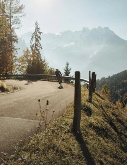
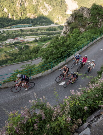
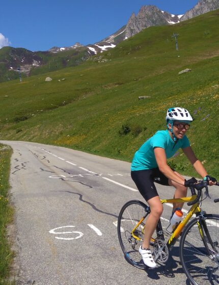
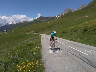
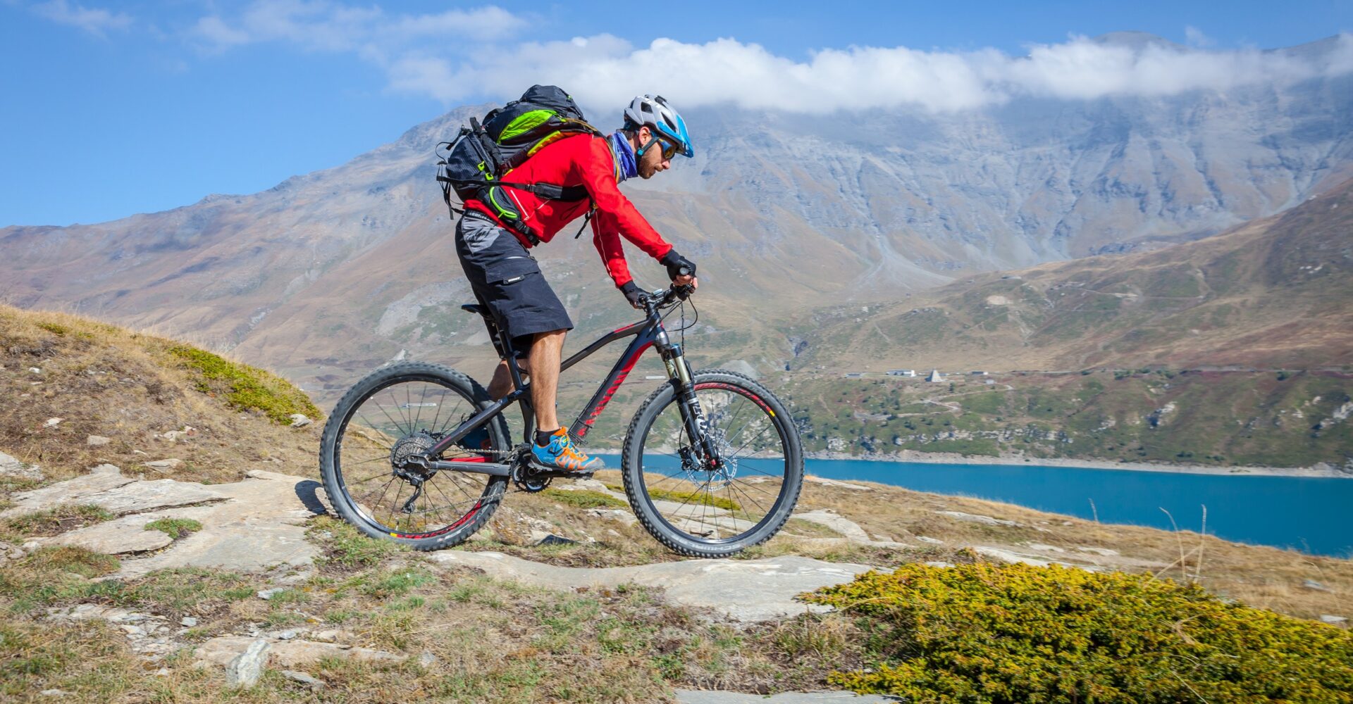
TerritoryFrom small cycle-touring loops to the climbs of the great mythical passes, there is something for all levels and all bike lovers to become the Kings and Queens of the mountain!
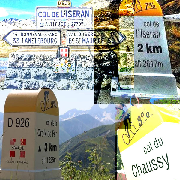
- 16 legendary cols
- +60 cycling routes
- 80 quality cycling establishments
- 5 travelling loops

Discover
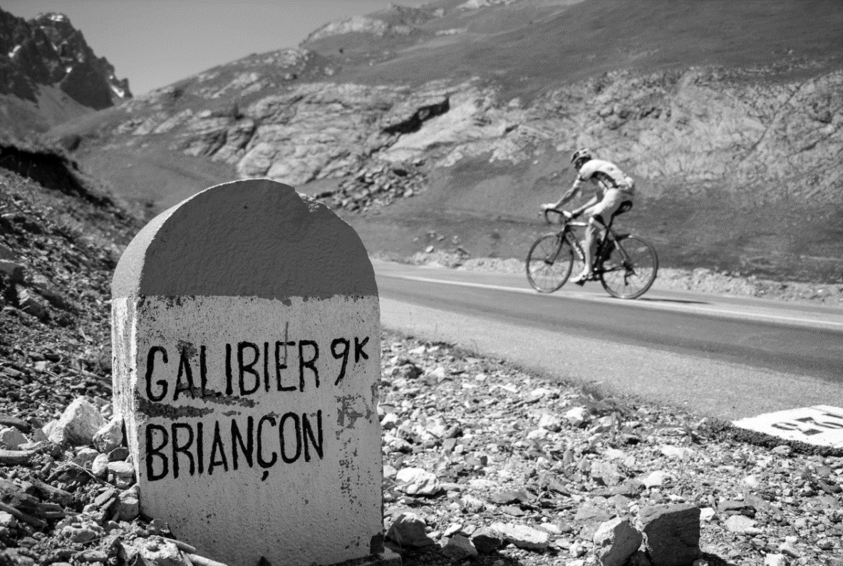
our lengendary colsLa Maurienne is the valley with the largest concentration of legendary passes in the world. This is where the brand “La Maurienne, the largest cycling area in the world” comes from!
Explore
Inspirations
Make your choice- Voir tout
-
Challenges vélo route
-
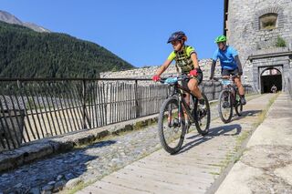
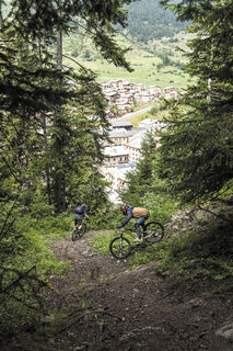
Du fun en VTT
-
Vélo découverte
-
Sans mon vélo
Events
It's happening now
Chargement en cours
Open agenda
Services
Plan your stay

