

 Virtual tour of the passes

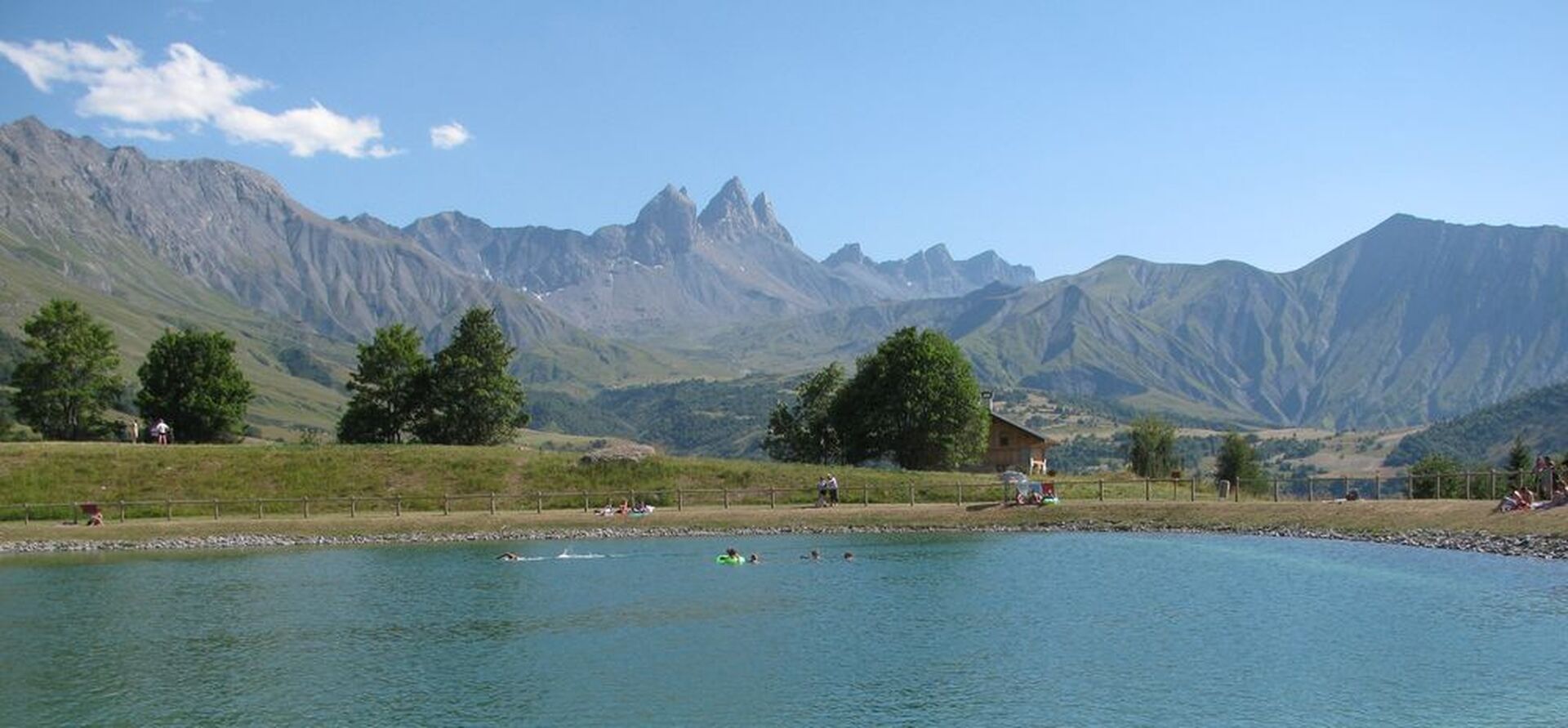
Harder than the Croix-de-Fer. A 6.6-km section of the switchbacks has an average gradient of 10.3%. Looking towards the Aiguilles d'Arves, it is easy to see why one of them is called the Tête de Chat (cat’s head).
Période d'ouverture
From 01/05 to 30/10.
Itinéraire
- Balisage NON_DISPONIBLE
- Type d'itinéraire ALLER_RETOUR
Équipements & Services
-
Picnic area
-
Bar
-
Public WC
-
Car park
-
Orientation board
-
Covered car park
-
Motorhomes allowed
Tarifs
Free access.
Plus d'infos
Commune :
Saint-Jean-de-Maurienne
Adresse :
73300
Commentaires
Vous aussi, écrivez un commentaire !