

 Virtual tour of the passes

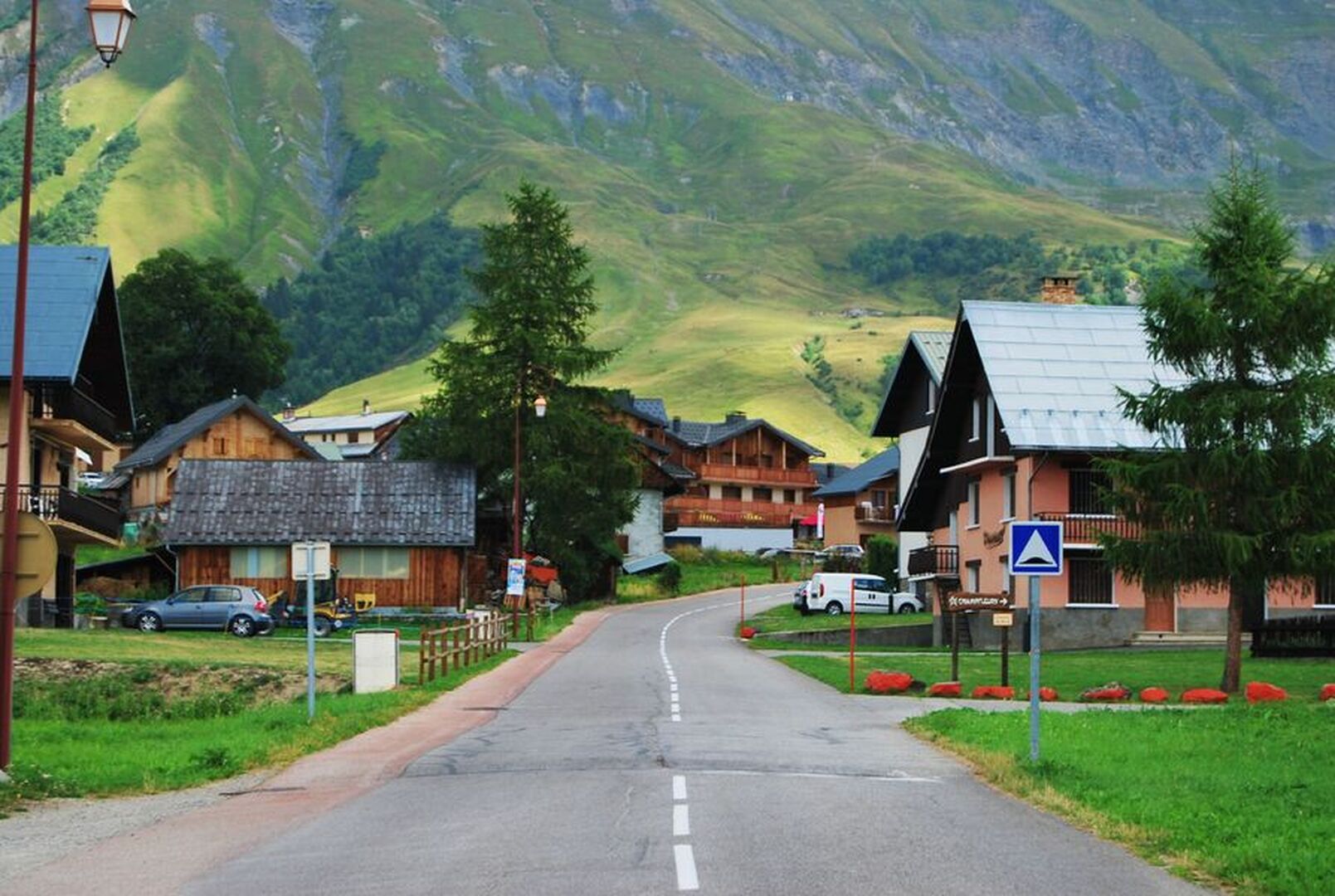
From Saint-Jean-de-Maurienne, enjoy the "lacets" following the direction of the typical villages of Villargondran and Albiez-le-Jeune.
Description
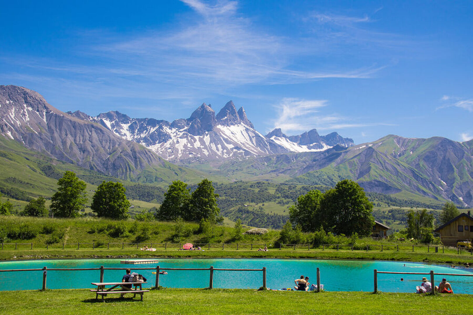
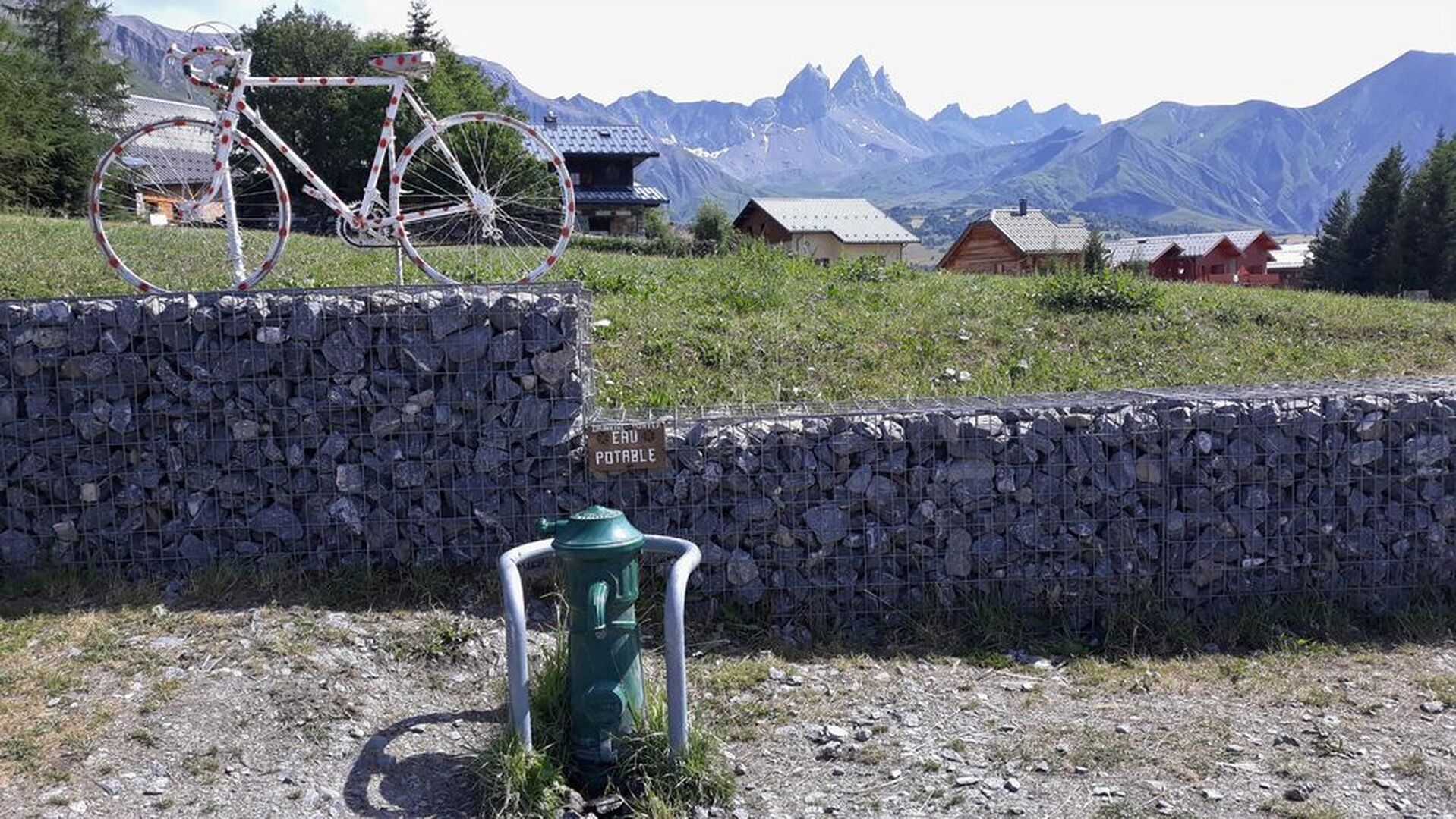
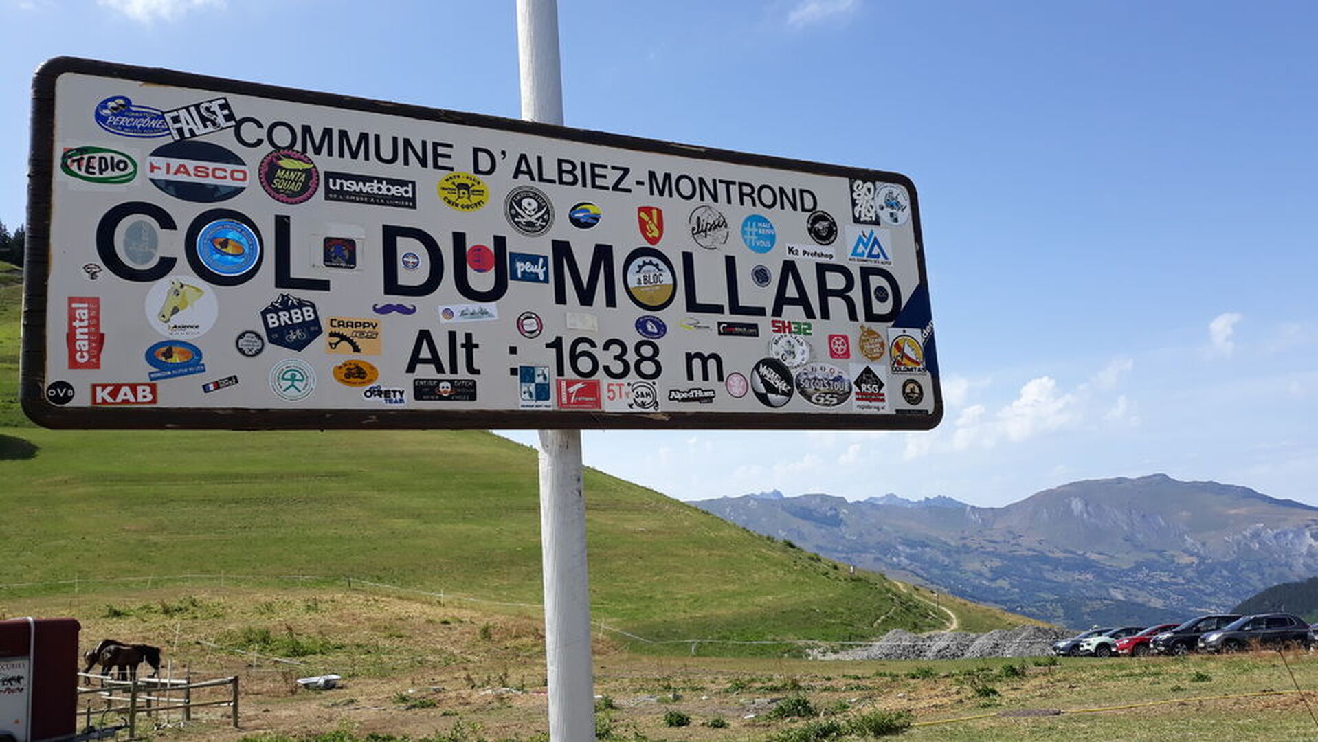
Uncrowded and mostly in the forest, this route will take you to the Col du Mollard by the calm and shaded road of the Col de la Confrérie.
This route can also be a downhill route after having climbed through the Arvan valley.
The condition of the road is good.
Warning: there is a major construction site at the exit of Saint-Jean-de-Maurienne, so it is possible that deviations are put in place. Be careful, machines circulate in the area.
Période d'ouverture
All year round.
Itinéraire
- Balisage NON_DISPONIBLE
- Type d'itinéraire BOUCLE
Équipements & Services
-
Picnic area
Tarifs
Free access.
Plus d'infos
Commune :
Saint-Jean-de-Maurienne
Adresse :
73300
Entité d'information :
Maurienne Tourisme
Commentaires
Vous aussi, écrivez un commentaire !