

 Virtual tour of the passes

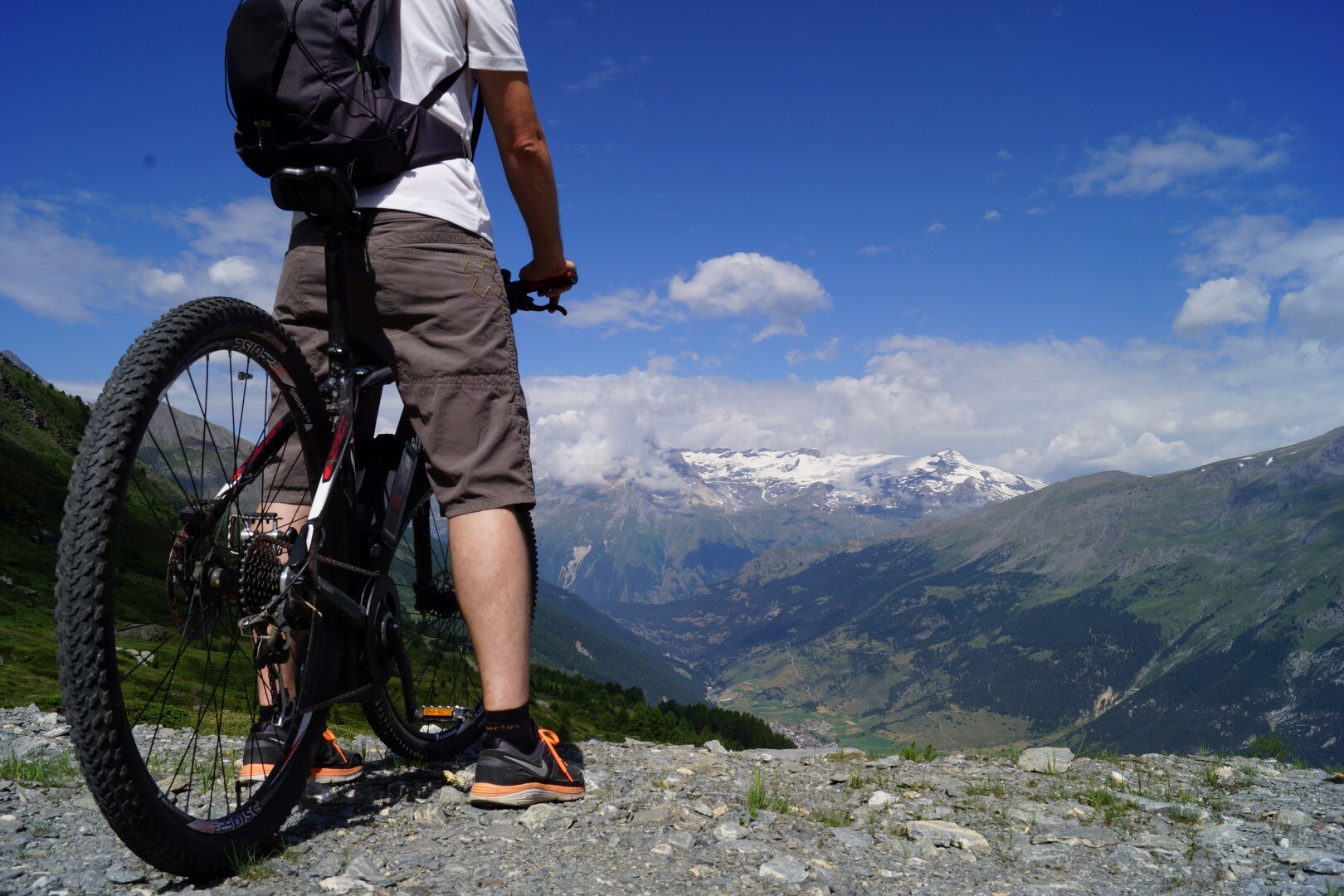
An elevation gain of 803 metres on a track which climbs steadily for 8.5 km to the Replat des Canons. Adopt the right pace from the start and you should make it to the top to be rewarded with a beautiful panoramic view and a well-deserved descent.
Période d'ouverture
From 15/06 to 01/10.
Subject to favorable snow and weather conditions.
Itinéraire
- Balisage BALISE
- Type d'itinéraire ALLER_ITINERANCE
- Précision balisage Marker "MONTEE ENDURO"
- Nature du terrain Ground
Tarifs
Free access.
Plus d'infos
Commune :
Val-Cenis
- Termignon
Adresse :
Termignon
73500
73500
Commentaires
Vous aussi, écrivez un commentaire !