Virtual tour of the passes
.

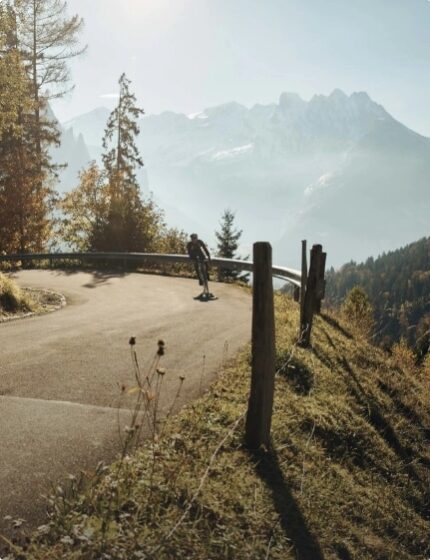
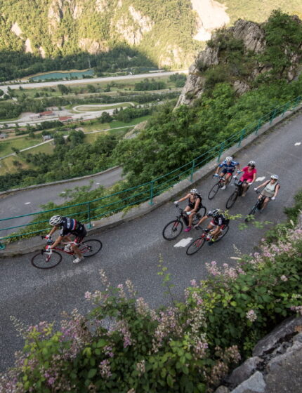
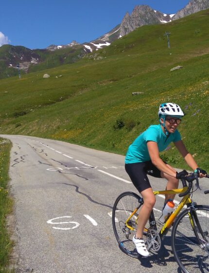
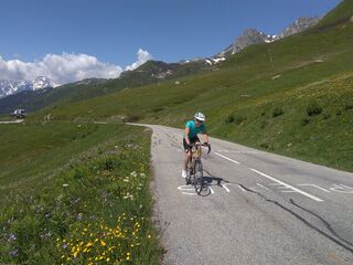
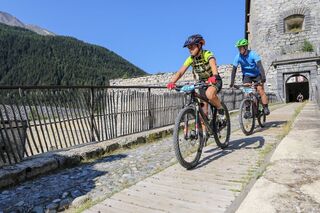
Cycling
TerritoryFrom small cycle-touring loops to the climbs of the great mythical passes, there is something for all levels and all bike lovers to become the Kings and Queens of the mountain!
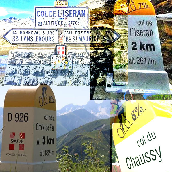
- 16 legendary cols
- +60 cycling routes
- 80 quality cycling establishments
- 5 travelling loops


Discover
our lengendary colsLa Maurienne is the valley with the largest concentration of legendary passes in the world. This is where the brand “La Maurienne, the largest cycling area in the world” comes from!
-

Tour de France
July 2 & 3, 2024 and August 18 -

VIALPS Cross-border route
4 stages, an unforgettable bike trip -

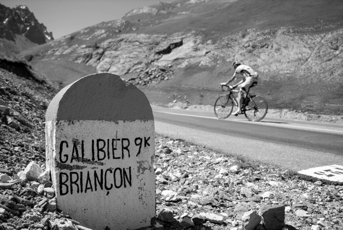
Le col du Galibier
Must-do -

Col de l'Iseran
Vertiginous -
Col de la croix de fer
Authentic -
Lacets de Montvernier
Picturesque -
Col de la Madeleine
Mythical -

Col du Mont-Cenis
Mystical -

Col du Mollard
Magic -

Col du grand Cucheron
Discreet

Inspirations
Make your choice- Voir tout
-
 Challenges vélo route
-
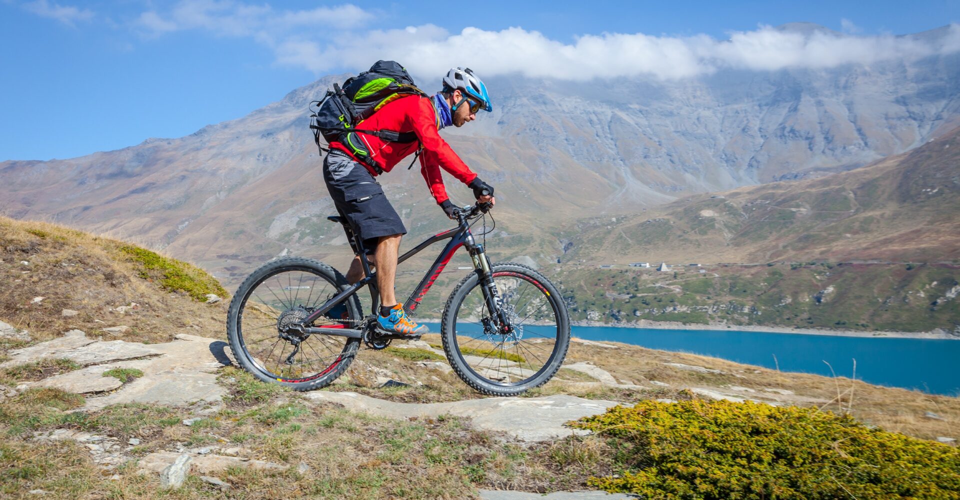
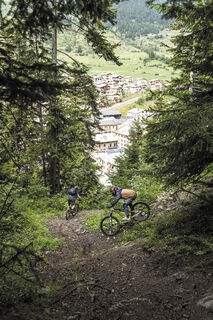
 Du fun en VTT
-
 Vélo découverte
-
 Sans mon vélo
-


-

-


-

-


Events
It's happening now-
 Galibier, Croix de Fer, Madeleine, Iseran "Vintage" Posters of the ColsFebruary 2024
 -
 Maurienne Valley : Bessans & Bonneval MTB : Loana Lecomte, Jordan Sarrou and the French TeamFrom 15 to 20 January 2024
 -
 @cyclomaurienne Concours Photo Instagram #Maurienne2023Du 14 au 31 août 2023
Chargement en cours
Open agenda

Services
Plan your stay