

 Virtual tour of the passes

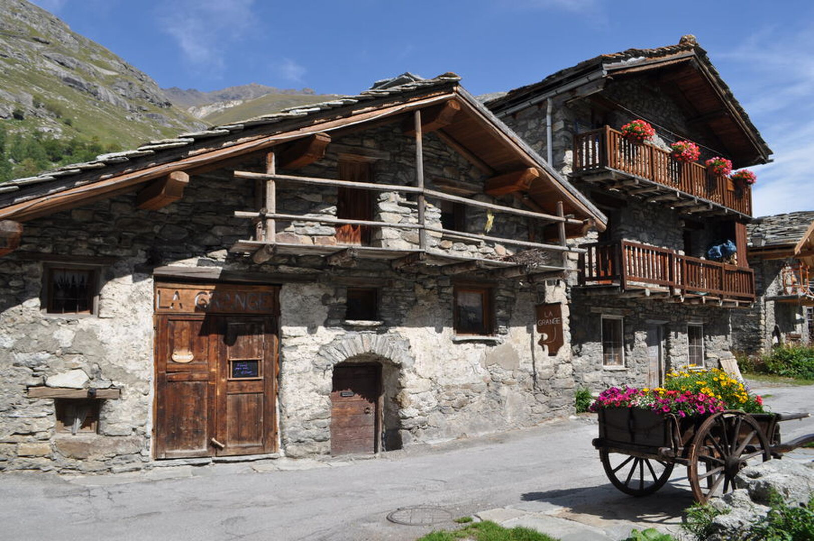
This long itinerary has several uses: as a route to Italy for passing cyclists, either by taking the train from Modane or cycling over the Col du Mont-Cenis; as a way of getting to the foot of the Col de l’Iseran; or simply to explore the Haute Maurienne!
Période d'ouverture
All year round.
Itinéraire
- Balisage BALISE
- Type d'itinéraire ALLER_RETOUR
Équipements & Services
-
Picnic area
-
Bar
-
Public WC
-
Parking
Tarifs
Free access.
Plus d'infos
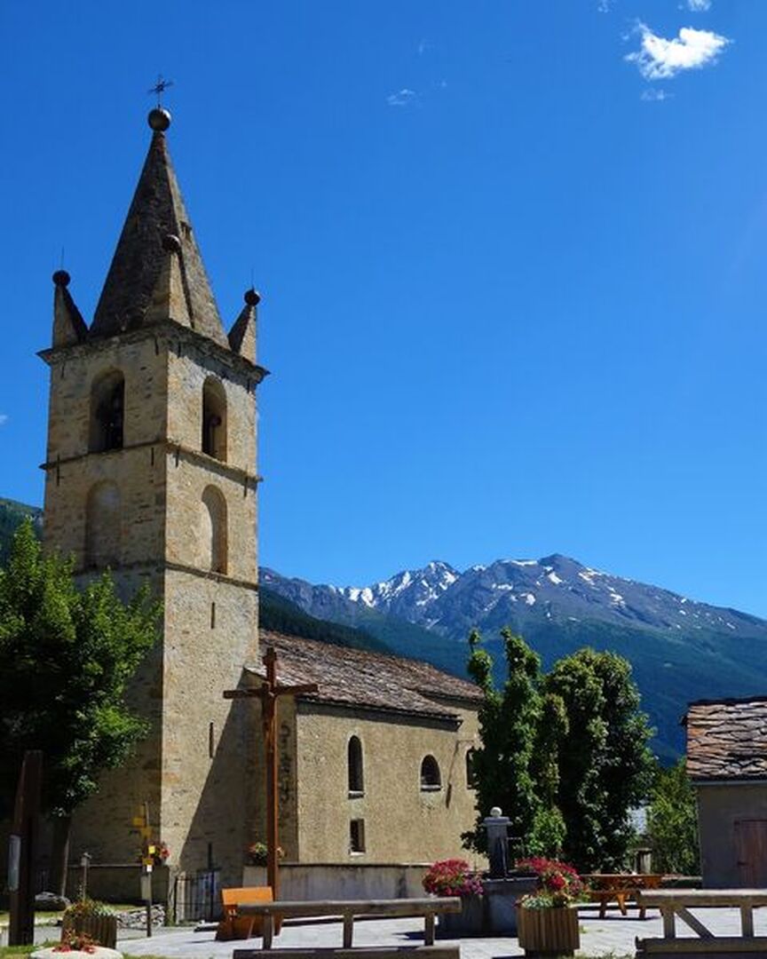
Commune :
Saint-Michel-de-Maurienne
Adresse :
Rue du général Férrié
73140
73140
Commentaires
Vous aussi, écrivez un commentaire !