

 Virtual tour of the passes

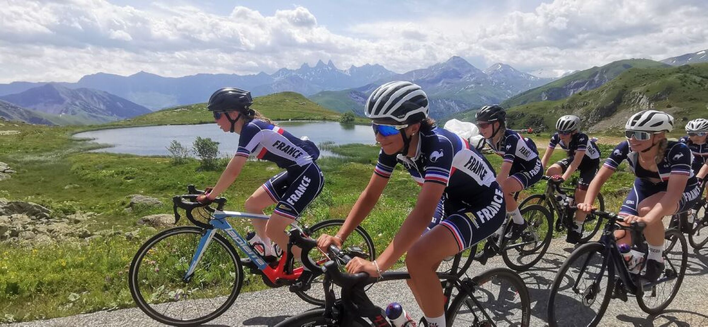
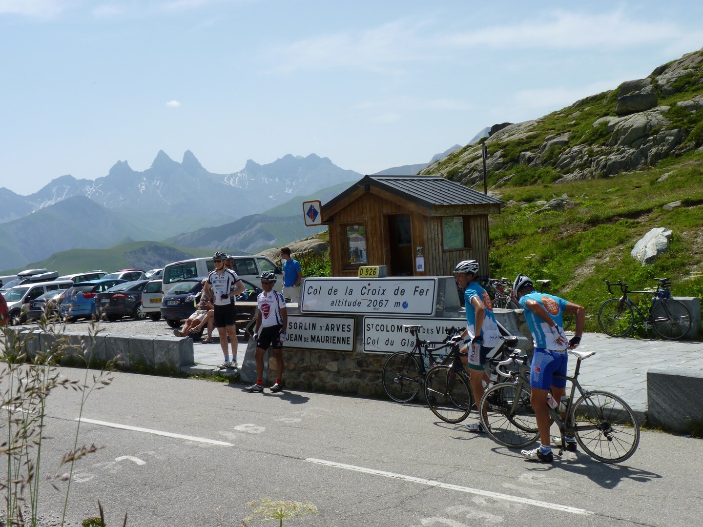
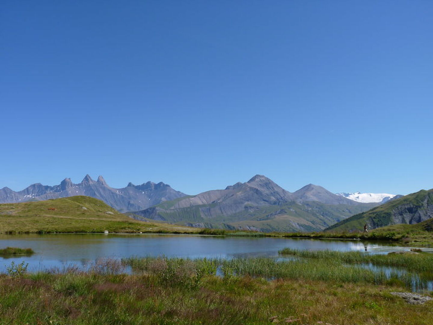
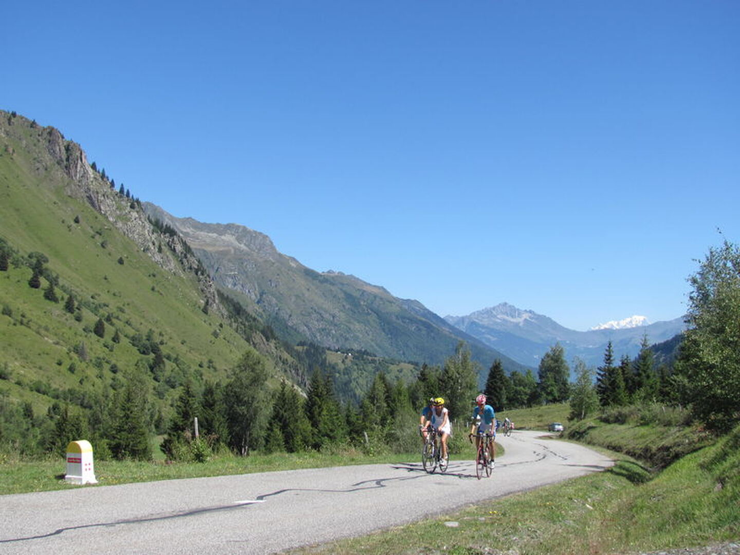
One of the most difficult climbs in Savoie. Treat yourself to a break at one of the cafés in St-Colomban-des-Villards before tackling the final slopes of the Glandon, which largely exceed 10%. Superb views of the Aiguilles d'Arves from the Croix-de-Fer.
Période d'ouverture
From 20/05 to 31/10.
Itinéraire
- Balisage NON_BALISE
- Type d'itinéraire BOUCLE
Équipements & Services
-
Picnic area
-
Bar
-
Public WC
-
Car park
-
Orientation board
-
Covered car park
-
Parking
Tarifs
Free access.
Plus d'infos
Commune :
Saint-Jean-de-Maurienne
Adresse :
73300
Commentaires
Vous aussi, écrivez un commentaire !