

 Virtual tour of the passes

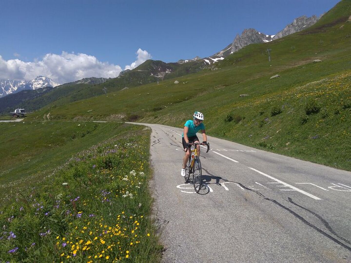
Linking the Maurienne and Tarentaise Valleys, the Madeleine is a must for all road cyclists visiting Savoie. The road via Montgellafrey is the 10th hardest climb in the area. With views of Mont Blanc from the summit, it's a must for pure climbers.
Description
In 2020, for the first time, the cyclists of the Tour de France have passed by this variant.
Période d'ouverture
From 01/06 to 31/10.
Depending on the level of snow and weather condition the roads can be used. Before heading out please check with the local tourist office about the current road conditions.
Itinéraire
- Balisage NON_DISPONIBLE
Tarifs
Free access.
Plus d'infos
Commune :
Saint-Jean-de-Maurienne
Adresse :
73300
Commentaires
Vous aussi, écrivez un commentaire !