

 Virtual tour of the passes

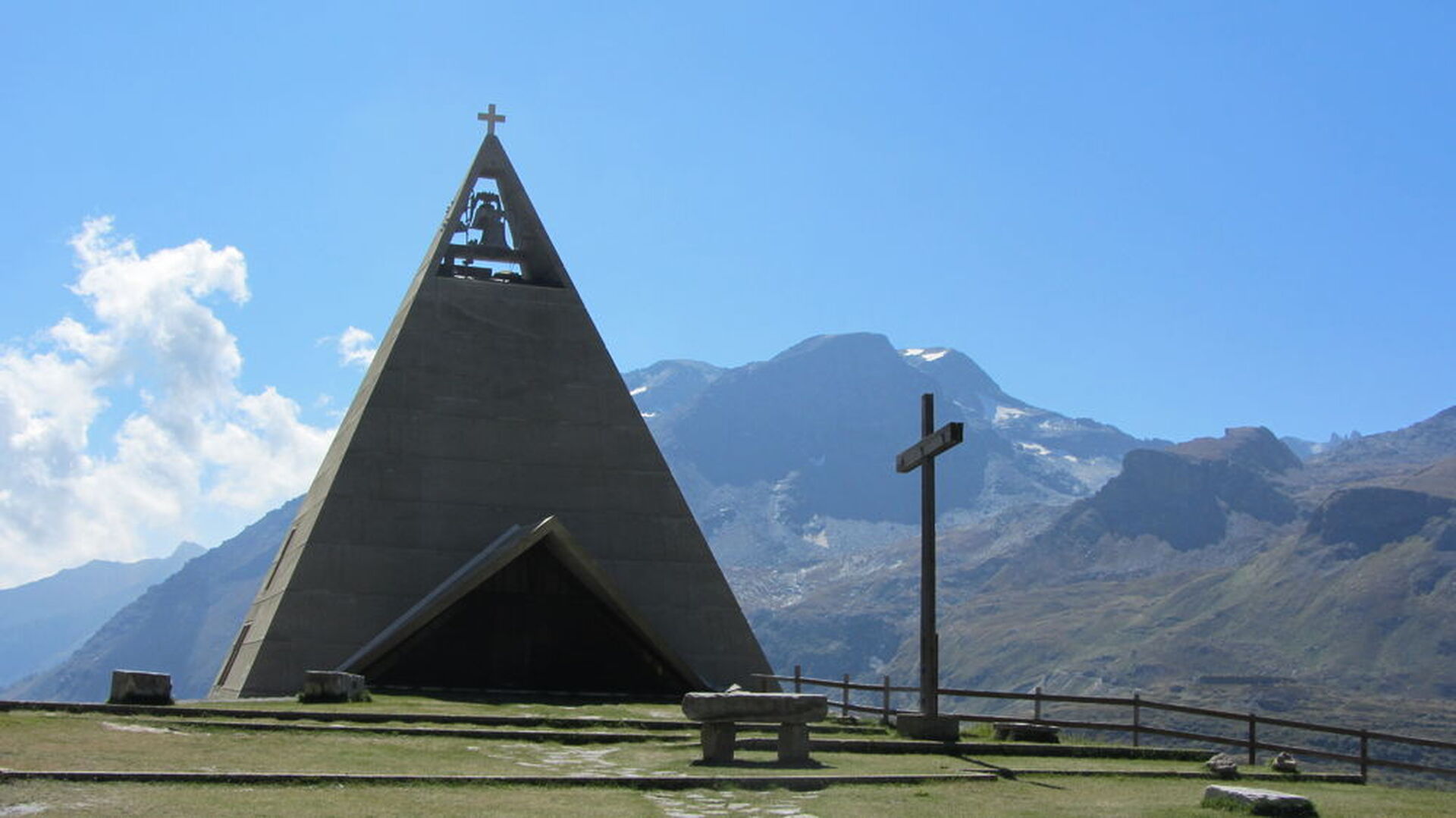
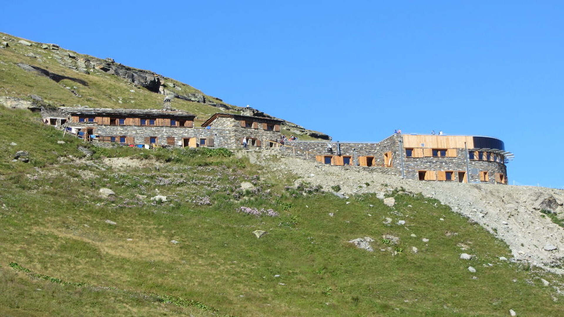
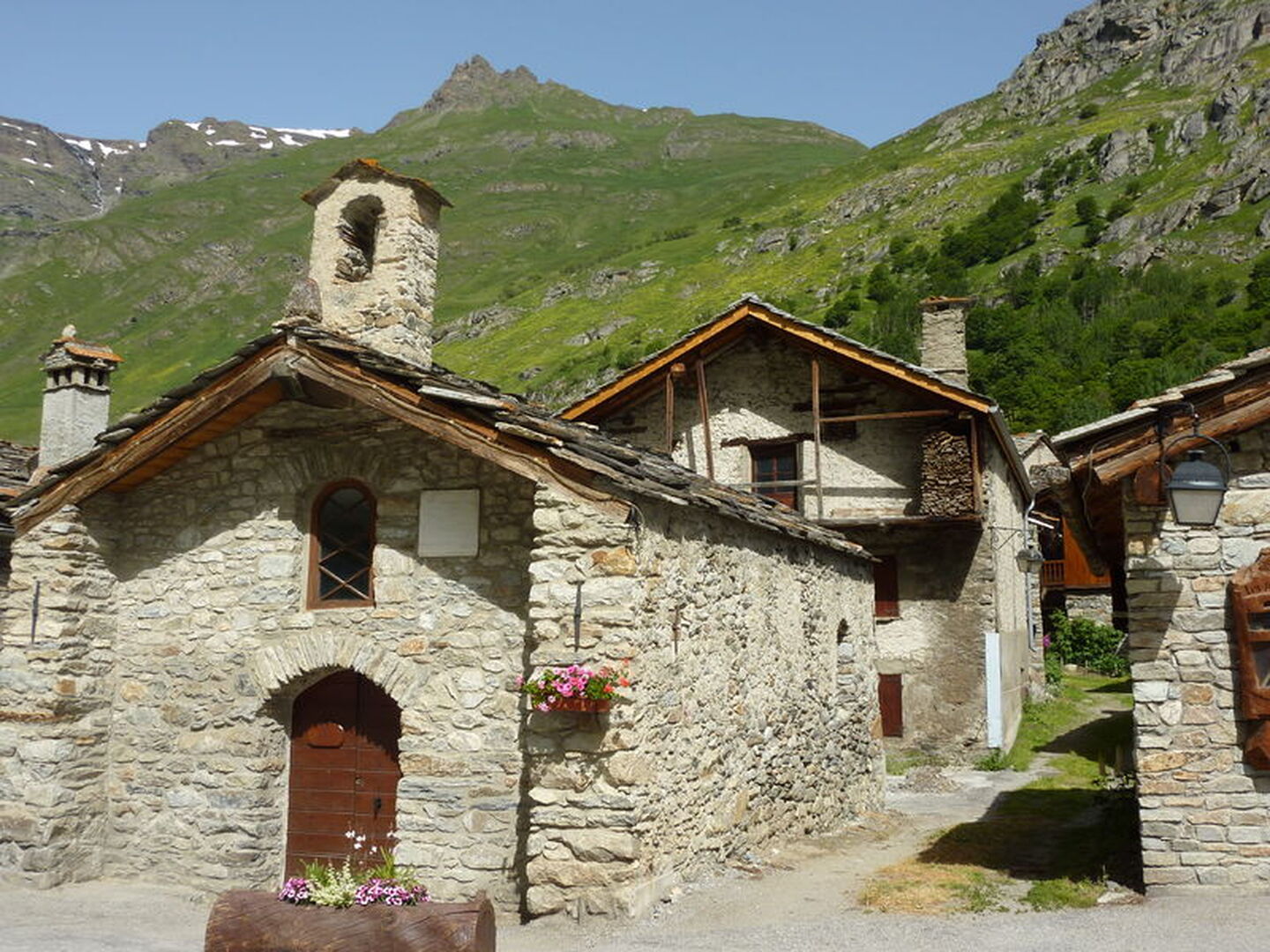
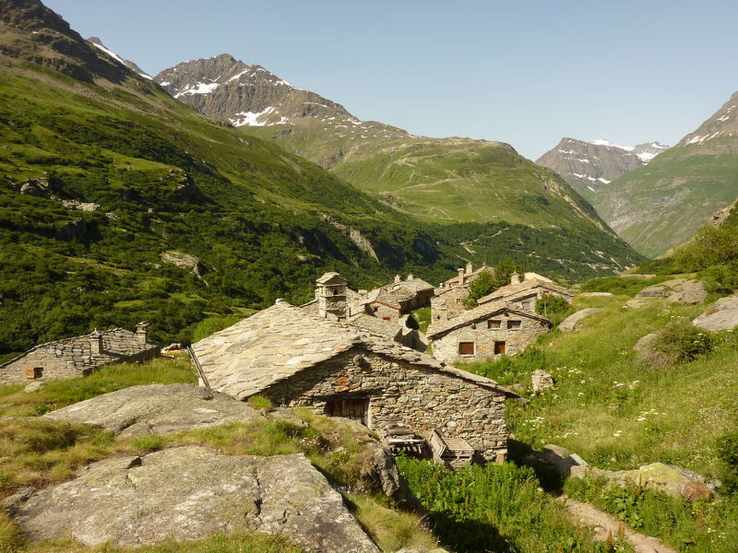
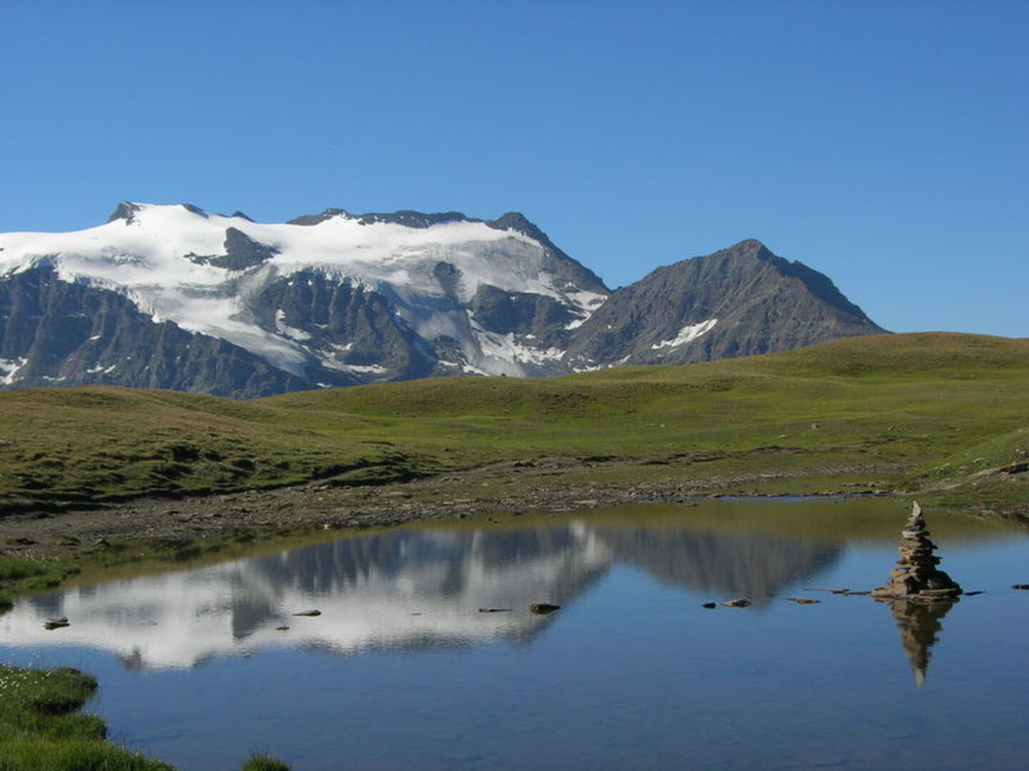
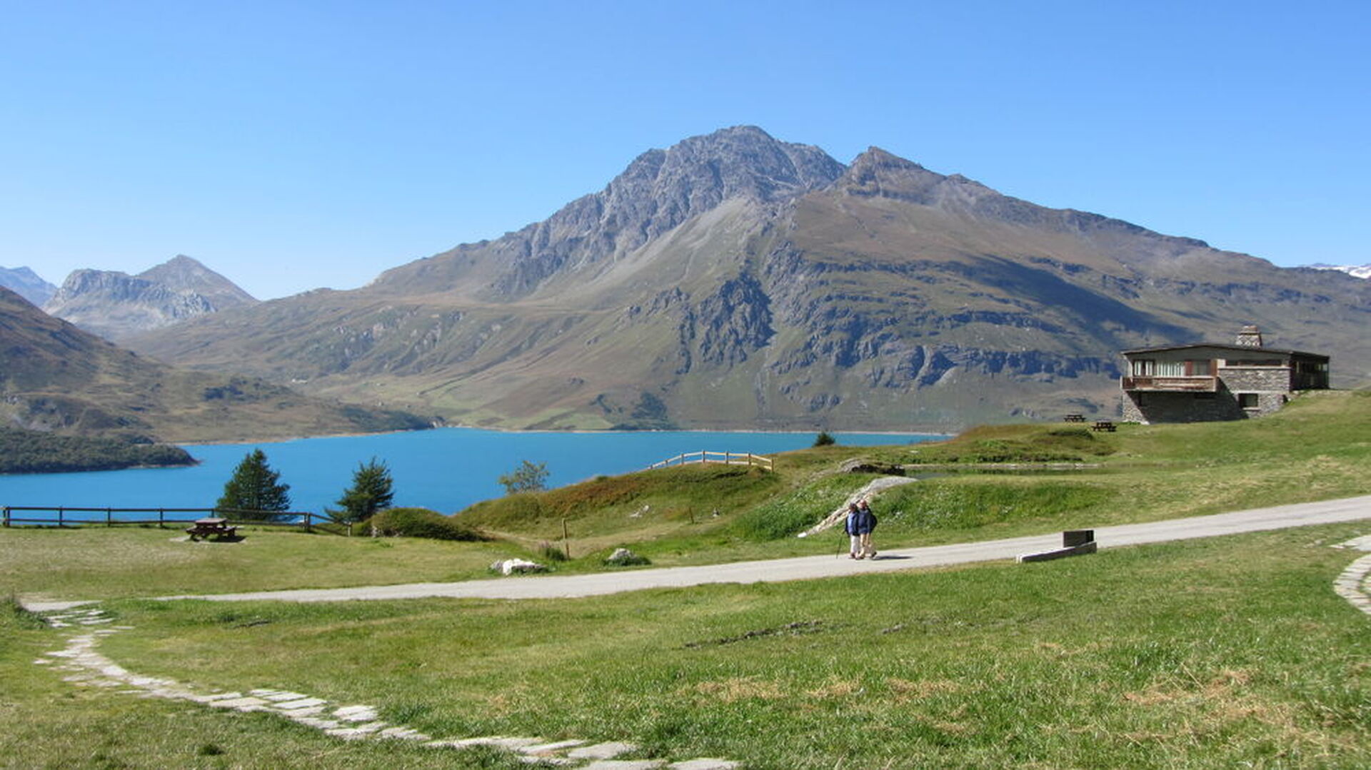
A beautiful itinerary from where you will discover the Haute Maurienne, on the edge of the Vanoise National Park. Set out to discover stone-built villages with their slate roofs.
Itinéraire
- Balisage BALISE
- Type d'itinéraire ALLER_ITINERANCE
- Nature du terrain Stone Ground Not suitable for strollers
Plus d'infos
Commune :
Val-Cenis
- Bramans
Adresse :
Bramans
73500
73500
Commentaires
Vous aussi, écrivez un commentaire !