

 Virtual tour of the passes

How amazing, to find yourself in such high mountains with such little effort, enjoying a beautiful view of the suspended Charbonnel glacier.
Description
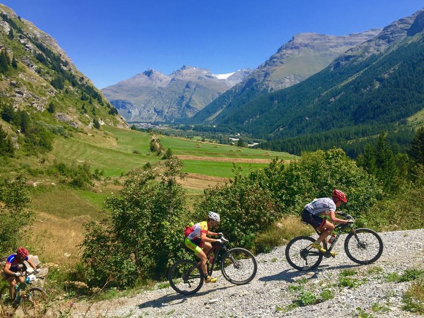
The Avérole valley is home to a few of the Haute Maurienne's typical farming villages that are still intact (La Goulaz, Vincendières and Avérole). This itinerary presents no major difficulty as it climbs gently to the end of the valley. You can even extend your trip up to the Averole refuge which is open and guarded during the summer. Seasoned mountain bikers can make the extra climb in the saddle, while others may have to walk. The decor promises waterfalls, glaciers and high peaks.
Departs from: Place de la Mairie in Bessans
Période d'ouverture
From 01/06 to 15/10.
Subject to favorable snow and weather conditions.
Itinéraire
- Balisage BALISE
- Type d'itinéraire BOUCLE
- Précision balisage French Cycling Federation signposting
- Passage délicat The climb to the foot of the refuge is long but very easy. No technical difficulties on the classic route. The black level variant is very technical with trialling passages and calls to the void. It is intended for good pilots only. Once you have started, there is no way out. Be careful if you do not have the required level for this passage, you will be obliged to carry and/or push your bike for several hundred metres.
- Nature du terrain Stone Ground Grit
Tarifs
Free access.
Plus d'infos
73480