

 Virtual tour of the passes

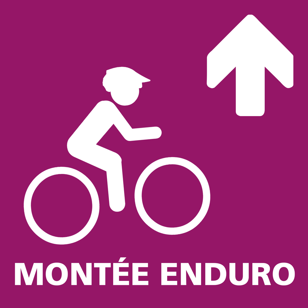
The locals call it the "Route des Barrages" (dam road). It makes a relatively steady climb of about 6 km for an elevation gain of 548 metres. The ideal way to reach the top of the 3 Enduro trails of Aussois.
Période d'ouverture
From 15/06 to 01/10.
Subject to favorable snow and weather conditions.
Itinéraire
- Balisage BALISE
- Type d'itinéraire ALLER_ITINERANCE
- Précision balisage Marker "MONTEE ENDURO"
- Nature du terrain Ground
Tarifs
Free access.
Plus d'infos
Commune :
Aussois
Adresse :
73500
Commentaires
Vous aussi, écrivez un commentaire !