Virtual tour of the passes


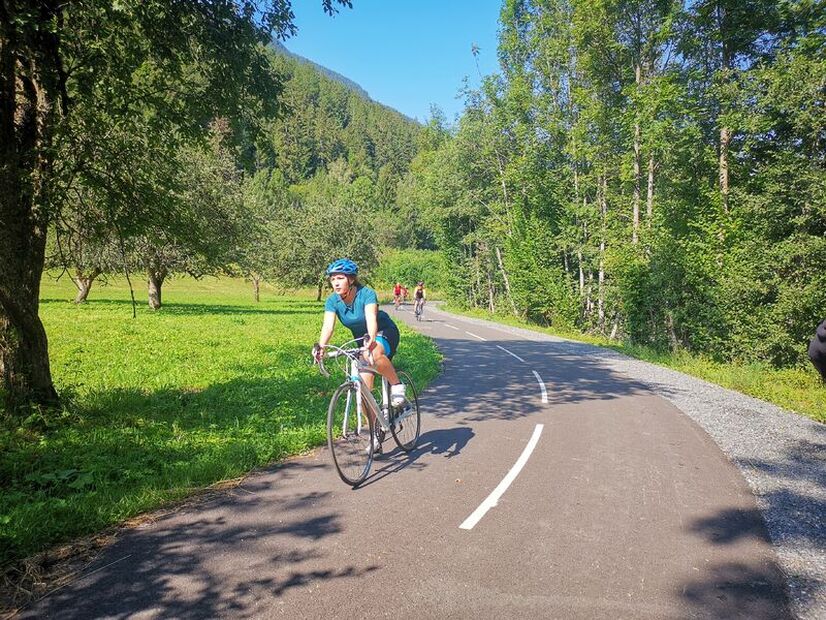
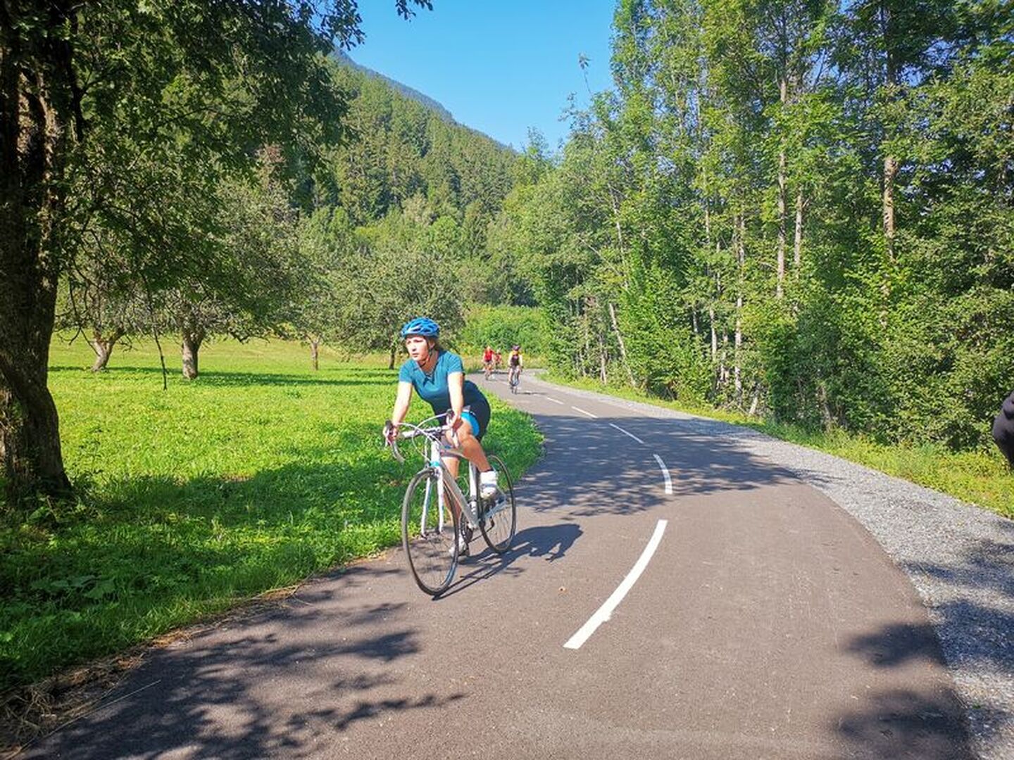
A lovely valley-bottom route at the foot of the world's largest ski areas, to discover a remarkable built heritage and typical Tarentaise villages. And the view of the surrounding peaks is simply breathtaking.
Description
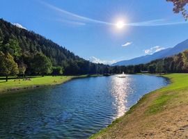
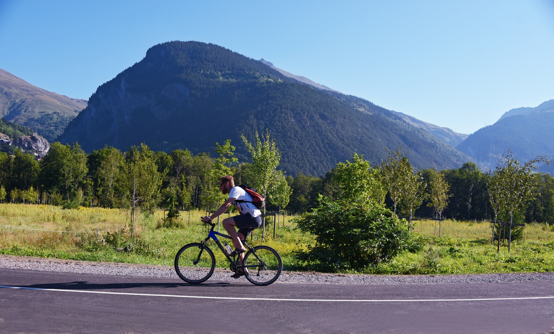
From Bourg-Saint-Maurice, you gradually descend this part of the Tarentaise valley. You serenely skirt the left bank of the Isère river, passing through pretty hamlets until you reach Landry, gateway to the Peisey-Nancroix valley. Depending on the season, you may catch a glimpse of the Paradiski double-decker gondola! Head for Macot-La Plagne before arriving in Aime and its 14th-century Montmayeur tower, listed as a historic monument since 1983. Now that you're halfway along the route, don't hesitate to continue on your way to the Versants d'Aime lake: a 1.3-hectare haven of greenery recently awarded the "Pavillon Bleu" label for its high environmental quality. On-site catering facilities include a shaded terrace by the water. Then it's back along the Isère river, a greenway that's synonymous with tranquillity and safety. Make a detour to the pretty village of Bellentre before returning to your starting point.
Period of opening
From 31/03 to 31/10 daily.
Accessible except when snowing and depending on weather conditions. To inquire about current conditions, please contact the tourist office. Guided practice: spring - summer - autumn.
Equipment & services
-
Pets welcome
Prices
Free access.