


 Virtual tour of the passes


A night in Savoie's highest refuge? Now that's an adventure for the whole family! Particularly if you have to pass through scenery worthy of a movie set to reach it. This glacier-facing balcony trail promises a lifetime of memories.
Description
As you make your way along the path through the alpine pastures, you'll come across some unusual-shaped chalets: to resist avalanches, they are semi-buried or protected by a "tourne", a kind of stone bow.
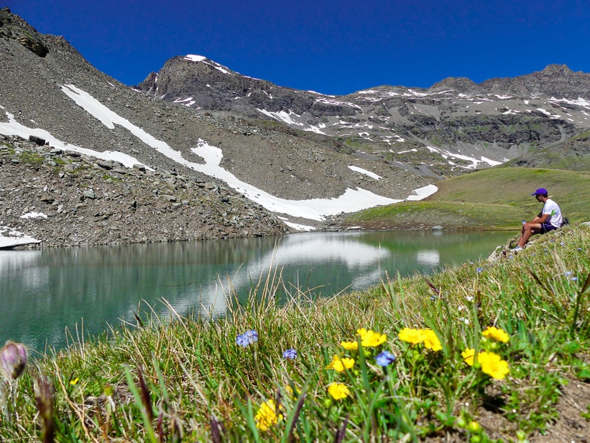
The Plan des Eaux and Pys lakes follow one another along the way. Shades of blue range from azure to turquoise, reflecting the eternal snows of the glaciers.
The majestic Albaron, Vallonnet and Evettes glaciers dominate the cirque of the Arc springs.
After this splendid balcony traverse, during which you may have spotted a few chamois, you arrive at the Carro refuge.
Perfectly integrated into this mineral setting, Savoie's highest refuge welcomes you in an end-of-the-world atmosphere! Before lunch, how about a gentle contemplation on the shores of the Black and White lakes adjacent to the refuge?
After a night close to the stars in this pure Haute Maurienne sky, the descent promises to be just as authentic. Linger in the hamlet of l'Ecot. Isn't that Sébastien running down an alleyway, followed by his faithful Belle?
But the adventure isn't over yet, as you'll have to follow the current of the Arc to reach Bonneval sur Arc.
Period of opening
Itinerary accessible outside snow periods and subject to favorable weather conditions. Check your local weather forecast in real time up to the day of departure.
Additional welcome
The Carro refuge has been awarded the "Refuge en famille" label. Prior booking is essential for your overnight stay in the refuge.
Stay on the trails and follow the signs, and take your garbage with you.
Equipment & services
-
Parking nearby
Prices
Free access.
Animals
Non acceptedPets are not allowed in the Vanoise National Park.
Localisation
A hike with a different starting point from the finishing point. It is advisable to take the shuttle bus from Bonneval/Arc and get off at the Pont de l'Ouilletta stop (start of the hike).