

 Virtual tour of the passes

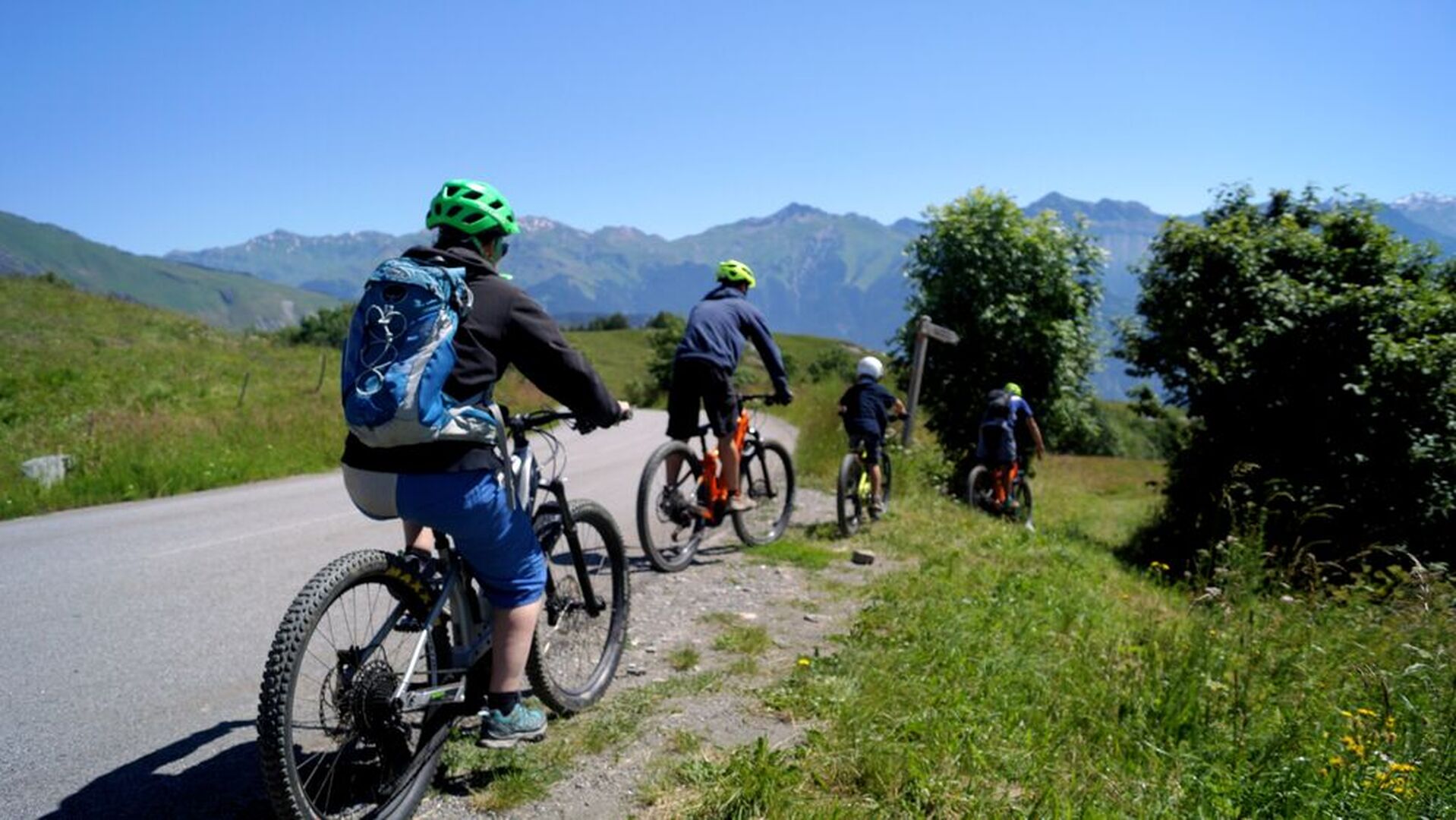
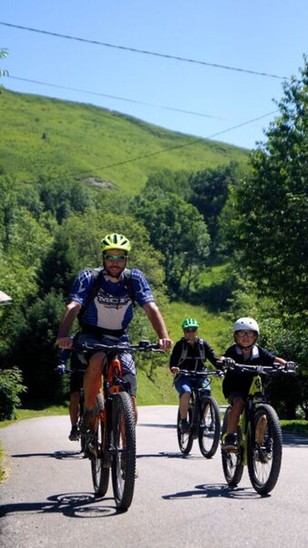
Sports circuit in varied environments: forest, alpine pastures and small valleys. Beautiful views and panoramas on the Arvan massif.
Circuit to be done in an anti-clockwise direction.
Description
Turn right from "Le Col" Campsite and reach the hamlet of La Rochette. Cross the village and continue straight on towards Alpettaz. The route guides you to Les Bottières. From there, take the path that takes you to the heights of Jarrier. Return via the panoramic path to the hamlet of La Rochette, offering you beautiful views of the Arvan massif. For the return to La Toussuire, take the same route as on the outward journey.
Période d'ouverture
All year round.
Subject to snow conditions.
Itinéraire
- Balisage NON_DISPONIBLE
- Type d'itinéraire BOUCLE
- Nature du terrain Stone Ground Grit
Tarifs
Free access.
Plus d'infos
Commune :
La Toussuire
Adresse :
Place Olympique
73300
73300
Commentaires
Vous aussi, écrivez un commentaire !