


 Virtual tour of the passes


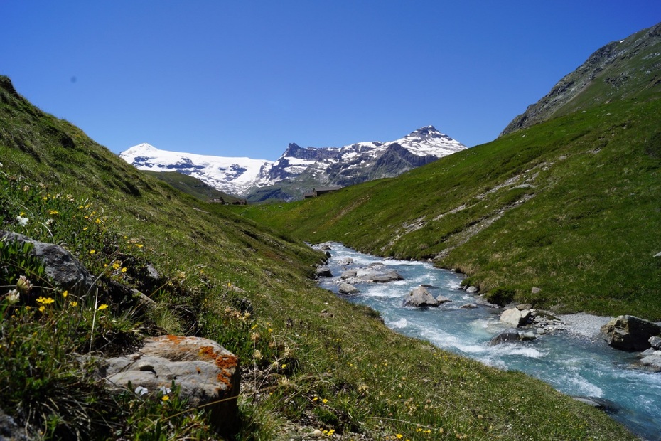
At the foot of the majestic glaciers, explore the alpine meadows and venture into the heart of the Vanoise National Park. Travelling from refuge to refuge, you spend the day exploring this iconic site.
Description
What a boon in the summer, to have a bus that drops you off at your start point! The route that goes via the Plan du Lac refuge from Bellecombe is a good warm-up. After an encounter with the fearless Lady Marmot, who keeps a vigilant eye
on you as you approach, and among these magnificent glaciers that have inspired countless seasoned mountaineers, the miles effortlessly go flying by. Pay close attention to these oversized scree slopes, they are home to chamois and ibex. And what's that little black spot in the sky? Could it be a bearded vulture, eyeing you from the heights of a thermal air current or one of its favourite nesting perches? This rare bird of prey is a local. Maybe he'll let you take a photo... By the time you get to the refuge, your thirst for adventure has been awakened. Next time, you'll definitely spend the night here... After an Epicurean break on the terrace, head back, taking your time to enjoy the trail. You'll encounter late-night walkers and sunset photographers along the way.
Period of opening
From 15/06 to 15/10 daily.
Subject to favorable snow and weather conditions.
Additional welcome
The duration of hiking trails is calculated using reference paces: 300 m/h ascent, 500 m/h descent and 4 km/h on the flat.
As hazards may occur at any time on the routes, the GPX tracks provided are not contractual. They are given for information only. Riders use them at their own risk, depending on their level of technological proficiency and their understanding of the terrain.
Equipment & services
-
Parking nearby
Prices
Free access.
Animals
Non acceptedPets are not allowed on this hike in the Vanoise National Park.
Localisation
By bus: Line 2 - Parking de Bellecombe stop.
By car: from Termignon, RD126 to Bellecombe parking lot (chargeable in July and August).