


 Virtual tour of the passes


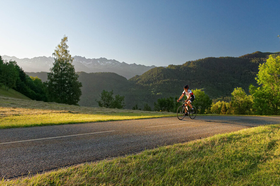
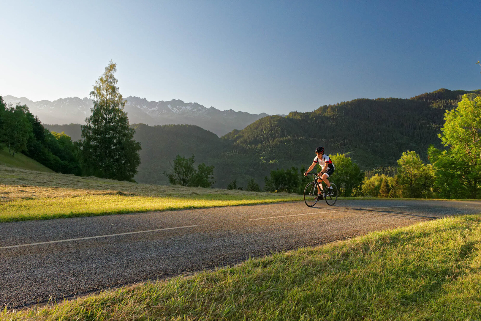
Discover the Vallée des Huiles, a little-known corner of Savoie. After a sustained climb with particularly beautiful views of the Dent d’Arclusaz and the Bauges, the descent from the Col de Champlaurent is down a steep and winding road through the forest.
Period of opening
From 01/01 to 31/12 daily.
Navigable with no snow cover, subject to weather conditions.
Check beforehand with the Tourist Office for up-to-date information on weather conditions.
Equipment & services
-
Pets welcome
Prices
Free access.