


 Virtual tour of the passes


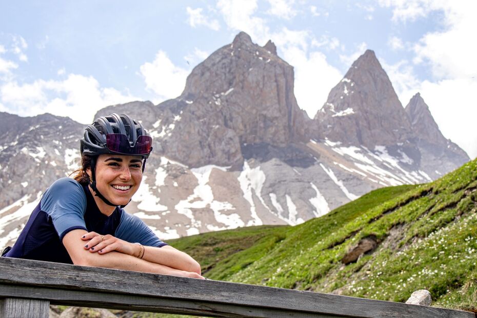
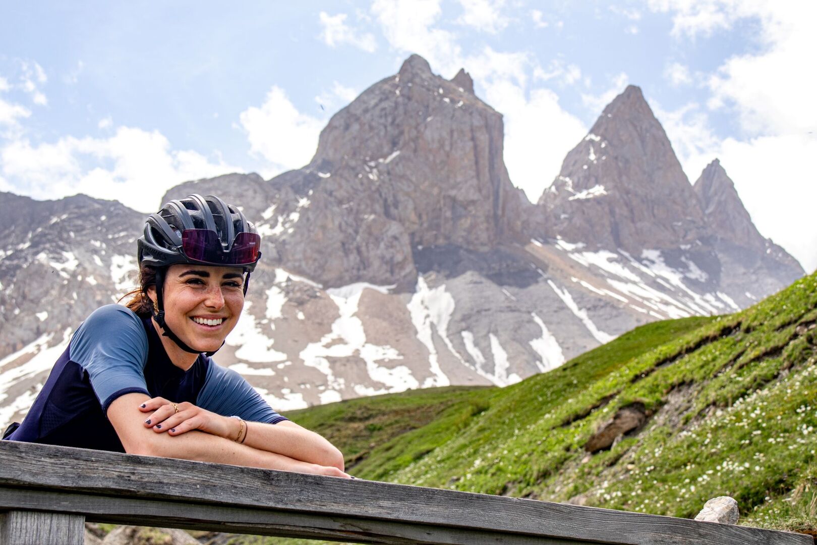
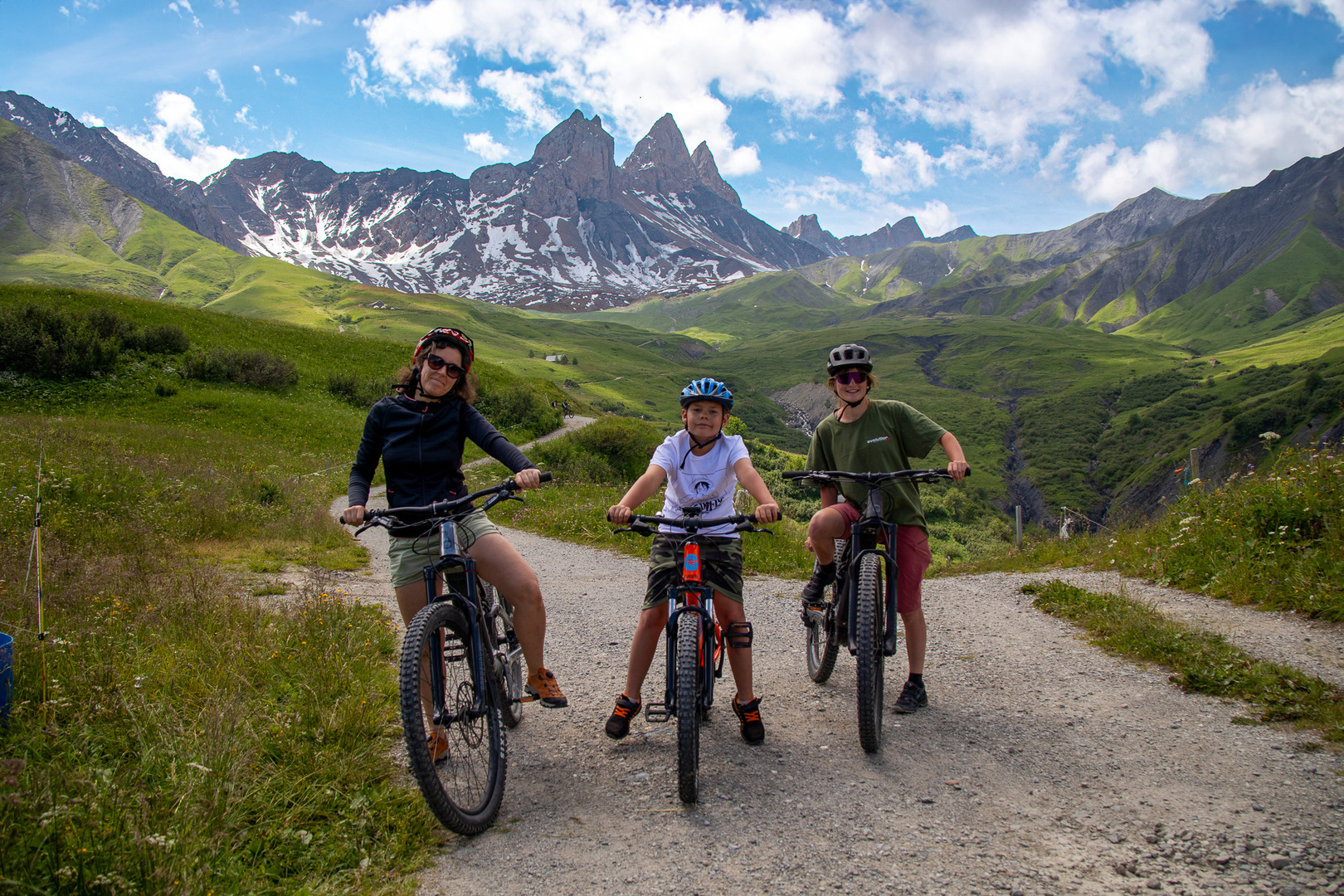
Get as close as you can to the majestic Aiguilles d'Arves on a mountain bike outing! Take to the trails that are naturally shaped for the pleasure of riding, and enjoy unique sensations against one of the most beautiful panoramas in the Maurienne.
Description
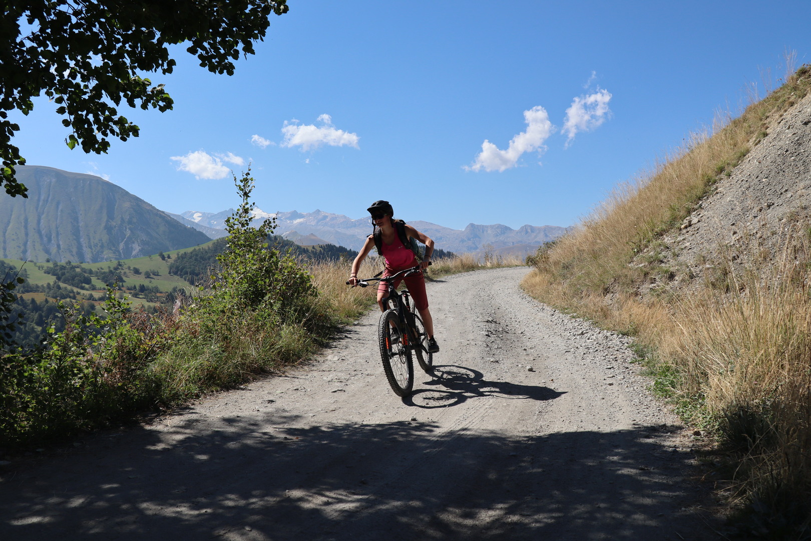
From the Opinel square, the route begins with a steady climb through the forest, before moving on to more airy paths in the mountain pastures. The singles, sometimes narrow and playful, offer a great variety of riding all the way to the Montrond plateau, dominated by the Aiguilles d'Arves. It's a complete route combining effort, technicality and exceptional panoramas of the Maurienne peaks.
Period of opening
All year round daily.
Subject to favorable weather.
Additional welcome
- To ride this route safely, you'll need a suitable mountain bike, helmet and gloves.
- This itinerary is also used by hikers, so please be vigilant and courteous with them.
Prices
Free access.